ITALIAN REMOTE SENSING
Remote Sensing Services
Services
Hydraulic mapping and modelling (floods)
Urban planning and monitoring
Forest mapping and conservation
Roads inventory
Cadastre
Civil Protection Support
landslides, heartquakes
Agricolture
health check and mapping

Powerline mapping
About us
Do you need airborne surveys? Call us!
We’re specialized in large format photogrammetry (Vexcel Ultracam Eagle), Lidar remote sensing (Riegl), Hyperspectral and thermal surveys.
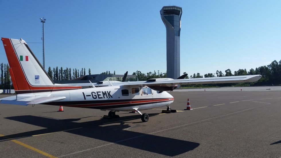
Two aircrafts.
International experience at Your service!
Certified ISO9001 ISO14001
Contact us
Italian Remote Sensing S.r.l.
VAT IT 01631860705
Registered office:
Via Vittorio Emanuele II n.93, 86033 Montefalcone nel Sannio (CB)
Operative office:
Via Giacomo Peroni n. 386, 00131 Roma


